


Last Updated: 14 November 2026
Snow UK is back in the headlines this weekend, with the Met Office forecasting snow over the hills of northern Scotland from Saturday night into Sunday. After the coldest night of the season so far, the whole country has felt the chill, and now the question on everyone’s mind is simple: will it snow where I live? The short answer is that most of the UK will stay dry, but parts of Scotland, northern England and Wales could see wintry weather on Sunday and Monday. This guide brings together the latest snow UK forecast for Saturday 14 November 2026, with the areas at risk, the timings, how much snow could fall and what the cold-health alert means for you. Forecasts can change quickly at this time of year, so every detail here is dated and sourced from the Met Office and the UK Health Security Agency (UKHSA).
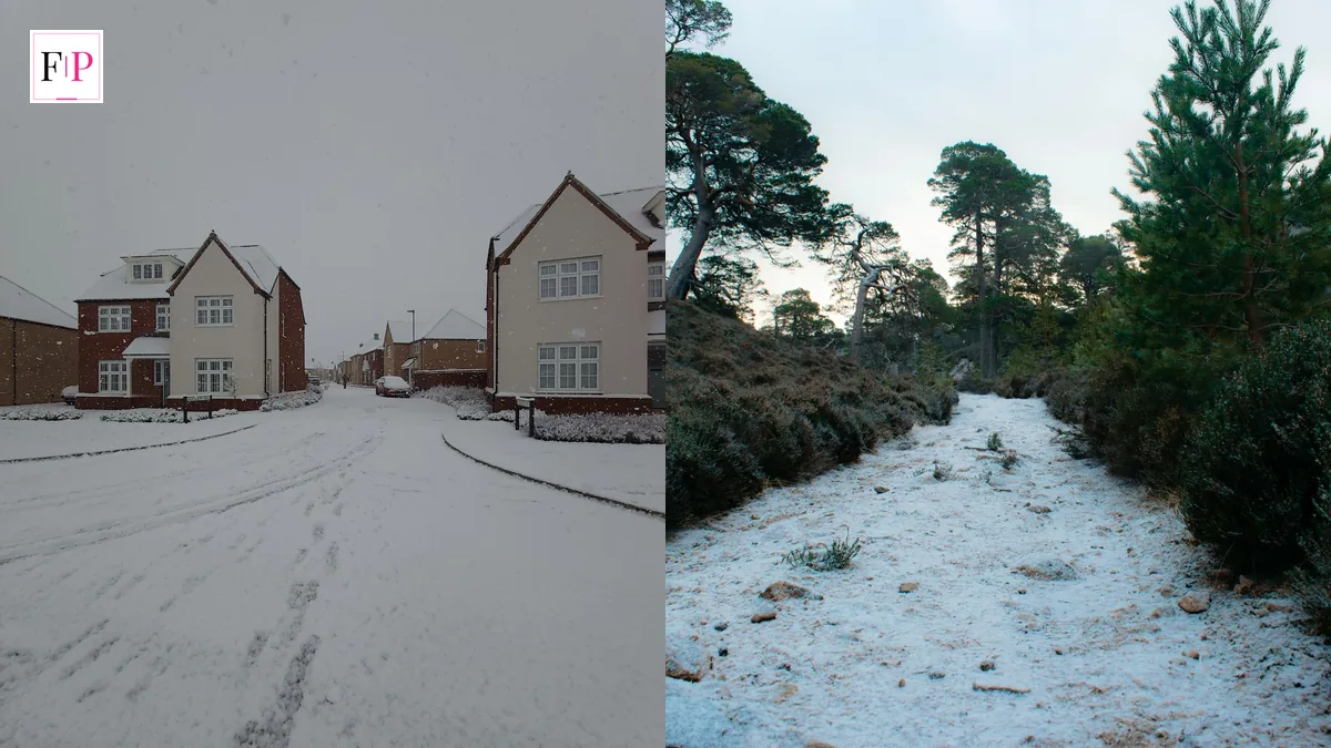
Snow UK this weekend means snow over high ground in northern Scotland from Saturday night into Sunday, with around 2cm possible above 200 metres and 5–10cm over the tops of the hills. England and Wales stay largely dry on Saturday. On Sunday, rain and hill snow sweep the northern UK, with wintry showers possible in Cumbria, Staffordshire, Derbyshire, Gwynedd and Flintshire into Monday.
What the Snow UK Forecast Says Right Now
The snow UK forecast is the Met Office’s day-by-day outlook for where snow, sleet and hail are likely to fall across the United Kingdom. It is built from the forecaster’s precipitation maps, which track wintry weather up to five days ahead. For this weekend, the message is clear: this is a hill-snow event, not a nationwide whiteout.
Met Office chief forecaster Chris Bulmer said the UK forecast has moved to a colder phase, with daytime temperatures for most locations likely to stay in single figures. That cold air is the reason snow is on the cards at all. The forecaster’s outlook for Sunday to Tuesday reads: “On Sunday, rain and hill snow sweep the northern UK, elsewhere a mix of showers and strong winds. On Monday and Tuesday, a bright start then rain and hill snow.”
Here is the snow UK picture as it stands on Saturday 14 November 2026:
- Saturday is mostly dry and bright for England and Wales, with sunshine and sunny intervals. Northern Scotland sees rain and showers, with increasingly strong winds on exposed Irish Sea coasts and northern hills.
- The main snow risk sits over northern Scotland on Saturday night into Sunday, mainly over high ground where accumulations are likely.
- Sunday brings low pressure, with rain or showers for many areas and the most persistent precipitation across northern Scotland, where snow becomes increasingly likely later in the day.
- There is currently no Met Office snow or ice warning in force for 13 to 19 November, according to the forecaster’s warnings page checked on 13 November. That matters: a forecast of hill snow is not the same as a warning of disruptive snow.
- Next week stays unsettled and cold, with sleet, rain and mainly hill snow expected from Sunday to Tuesday.
Deputy chief forecaster Steven Keates summed up the outlook in similar terms: “The outlook is changeable with spells of rain, sleet and some hill snow.” He added that on Sunday, precipitation will be most persistent across northern Scotland, where there is an increasing chance of snow developing later in the day. “This will mainly fall over high ground, where accumulations are likely, but some snow could fall to lower levels too. Ice may also become a hazard.”
Where Will Snow UK Fall? The 12 Areas to Watch
The snow UK map for this weekend names 12 areas across Scotland, England and Wales where wintry precipitation could fall on Sunday and Monday. The Met Office precipitation forecast highlights them in grey, with precipitation rates potentially reaching up to 4mm per hour in some locations. The precise type of precipitation, and how likely snow is, varies with local conditions and elevation.
| Area | When | What to expect |
|---|---|---|
| Scottish Highlands | Sunday morning | Wintry precipitation; snow over high ground |
| Aberdeenshire | Sunday morning | Wintry precipitation possible |
| Dumfries and Galloway | Sunday evening, around 8.45pm | Conditions could turn wintry |
| East Ayrshire | Sunday evening | Conditions could turn wintry |
| Cumbria | Sunday evening | Wintry showers possible |
| Staffordshire | Monday evening, around 9pm | Wintry conditions could reach further south |
| Derbyshire | Monday evening | Wintry conditions possible |
| Gwynedd | Monday evening | Wintry conditions possible |
| Flintshire | Monday evening | Wintry conditions possible |
Three things are worth noting about this list. First, this snow UK list is about where snow could fall, not where it certainly will: the map shows possibility, not a promise. Second, snow is more likely over higher ground than in lower-lying areas, so a hill village and a valley town a few miles apart can have very different weekends. Third, the risk moves south as the weekend goes on: Scotland on Sunday morning, the borders and Cumbria by Sunday evening, and parts of England and Wales by Monday evening. The forecast remains subject to change, and the Met Office updates its maps several times a day.
If you live in one of these areas, the practical advice is simple. Check the Met Office UK forecast for your postcode before you travel, and allow extra time for any journey over high ground. For the latest official alerts, the Met Office warnings page is the place to check.
Snow UK Timeline: Saturday Night to Tuesday
The snow UK timeline is short and sharp. This is a weekend event, not a week-long freeze, and the details change by the day. Here is how it unfolds.
Saturday 14 November. After the frost clears on Saturday morning, most of the UK should enjoy a fine day with some sunshine, according to the Met Office. England gets sunshine and Wales gets sunny intervals. Northern Scotland and its border see rain and showers, with increasingly strong winds on exposed Irish Sea coasts and northern hills. Temperatures on Saturday morning range from around 5C in Norwich and Manchester to 11C in Plymouth. Saturday night stays dry across central and eastern parts of England, with clear spells and some frost.
Saturday night into Sunday. This is when the main snow risk arrives. The Met Office’s 10-day trend of 12 November puts the main snow risk across northern Scotland on Saturday night into Sunday. Snow falls mainly over the hills, where accumulations are likely, but some snow could reach lower levels too.
Sunday 15 November. Low pressure brings rain or showers to many areas. Precipitation is most persistent across northern Scotland, where there is an increasing chance of snow developing later in the day. Elsewhere, it is a mix of showers and strong winds. Ice may become a hazard as temperatures fall after dark.
Monday and Tuesday. A bright start, then rain and hill snow return. The wintry risk reaches further south on Monday evening, with parts of England and Wales potentially affected. The outlook stays changeable and unsettled, with sleet, rain and mainly hill snow expected through Tuesday. That is the snow UK timeline in full: a Saturday night start in the north, a Sunday spread, and a Monday push further south.
One honest note: weather forecasts at this range can shift. A small change in the track of Sunday’s low pressure would move the rain-snow boundary by tens of miles. That is why the Met Office updates its forecast several times a day, and why it is worth checking again on Sunday morning rather than relying on a forecast read on Friday.
How Much Snow UK Could See
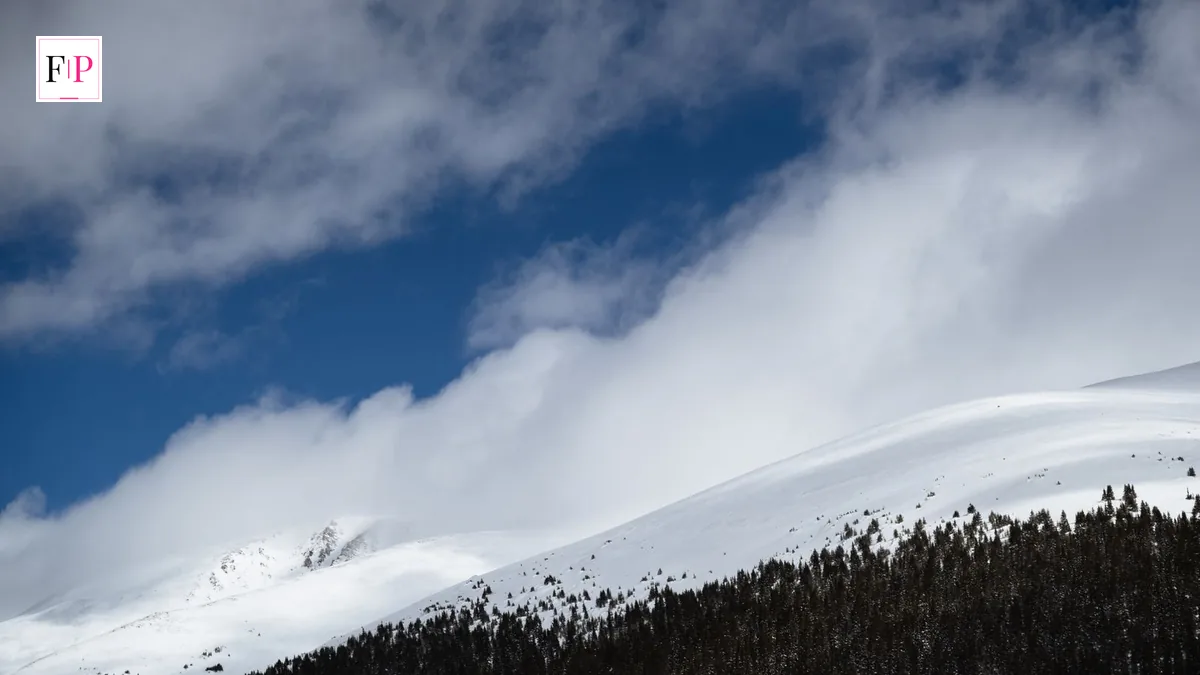
How much snow UK could see depends almost entirely on height. The Met Office’s 10-day trend of 12 November says around 2cm is possible above 200 metres, with potentially 5 to 10cm over the tops of the hills. Those are modest totals by the standards of a big UK snow event, and they explain why this is a hill story rather than a lowland one.
Elevation matters because temperature falls as you climb. Rain at sea level can be snow a few hundred metres up, which is why the same weather system can leave a valley wet and a hilltop white. This is why every snow UK forecast splits the country by height rather than by county. The Met Office precipitation map reflects exactly that: grey shading for wintry precipitation sits over the high ground, while lower-lying areas nearby stay as rain.
For most people, 2cm of snow on a hilltop will mean very little. For anyone travelling over high ground in northern Scotland, it is a different story. Even a thin covering can make untreated hill roads slippery, especially where ice forms overnight. The advice is to check local travel updates before setting off, keep your phone charged, and carry a blanket and some water if you are driving a rural route.
It is also worth keeping the totals in perspective. The Met Office’s headline review of 5 November said there was currently little support for widespread disruptive snow or exceptionally cold conditions in the forecast. This weekend’s snow is real, but it is localised, and it is not the start of a big freeze.
The Coldest Night So Far and the Cold-Health Alert
Before the snow arrives, the UK has already had its coldest night of the season so far. On Thursday night, temperatures fell to -6.6C at Sennybridge in Powys, Wales, and -6.5C at Shap in Cumbria. London temperatures fell to -2C overnight. It was the coldest night of the autumn so far, and it set the tone for the weekend.
That cold snap triggered the first cold-health alert of the winter season. The UK Health Security Agency (UKHSA) issued a yellow cold-health alert for the North West and West Midlands, running from 9am on Thursday 12 November until 12pm on Saturday 14 November. A yellow alert means cold weather is likely to affect the health of vulnerable people, including those aged over 65, children under five, and people with heart and lung conditions.
The alert is a reminder to check on older neighbours and relatives, keep living rooms warm, and make sure vulnerable people have food, medicine and a way to call for help. Public health guidance recommends keeping the main rooms of the home at 18C or above during cold weather. The alert covers the same regions where snow UK maps show wintry weather arriving later in the weekend, so the cold and the snow are part of one event. If you are entitled to extra help, the Cold Weather Payment postcode checker shows whether payments are triggered in your area after a run of freezing days.
Daytime temperatures are not much kinder. With the UK in a colder phase, most places are expected to stay in single figures during the day. That is cold enough to feel bitter in a wind, and cold enough for frost and ice to linger in shaded spots long after sunrise.
Snow UK vs the Polar Vortex: Why This Cold Snap Is Different
Every cold snap in Britain now comes with the same question: is the polar vortex to blame? The polar vortex is a band of strong winds high above the North Pole that normally keeps cold Arctic air locked away. When it weakens or breaks down, that cold air can spill south, and the UK can turn much colder. It is a real phenomenon, and it has driven some of Britain’s most famous cold winters.
But this snow UK event is not a polar vortex story. On 11 November, the Met Office said this week’s cold is not caused by the polar vortex, and that the vortex’s disruption may be short-lived, with the vortex returning closer to its average state as December approaches. The Met Office has also said that a major sudden stratospheric warming does not automatically mean snow or severe cold for the UK.
Instead, this weekend’s cold comes from a colder phase of weather and a low-pressure system moving across the UK. That is a normal November pattern, not an exceptional one. It is the same kind of setup that brings rain, sleet and hill snow to northern Britain most winters. If you want the full background on the vortex itself, read our Polar Vortex UK Explained guide, which covers what it is, when it matters and what it means for British winters.
The distinction matters because it sets expectations. A polar vortex breakdown can mean weeks of cold. A passing low-pressure system means a cold weekend, then a change. The Met Office’s longer-range outlook makes the same point: for 23 November to 7 December, temperatures will often be mild, particularly away from the far north-west, where brief colder interludes are possible.
Staying Safe and Warm: 7 Steps for Snow UK Weather
Cold and snow UK weather is manageable if you prepare. These seven steps cover the basics, and they take less than an hour to work through.
- Check the forecast before you travel. Look up your route on the Met Office forecast, not just your home town. Conditions on a hill pass can be very different from conditions in the valley below.
- Check on older neighbours and relatives. A quick call or knock on the door matters most during the first cold snap of the season, when people are least prepared for it.
- Keep your home warm. Aim for 18C or above in the rooms you use most. Close curtains at dusk, draught-proof doors and windows, and do not turn the heating off overnight if the forecast says frost.
- Dress in layers. Several thin layers trap warm air better than one thick jumper. Add a hat, scarf and gloves, and wear shoes with a good grip for icy pavements.
- Prepare your car. Top up screenwash, keep de-icer and a scraper in the car, and make sure your phone is charged. A blanket, some water and a torch are worth carrying on rural routes.
- Watch for ice. Snow is visible, but ice is not. Pavements, steps and untreated side roads can be treacherous after a clear, frosty night, even where no snow has fallen.
- Know where the warnings are. Bookmark the Met Office warnings page and check it before any long journey. A forecast of hill snow is not a warning, but if a warning appears, take it seriously.
One last point: do not rely on social media snow maps alone. Viral maps often show model output, not the official forecast, and they can overstate both the amount of snow and the area it will cover. The Met Office forecast and warnings pages are the authoritative sources for the UK.
What Happens After the Snow UK Weekend?
The unsettled pattern continues into next week, with further spells of rain, sleet and mainly hill snow expected from Sunday to Tuesday. Beyond that, the Met Office outlook for the rest of November is distinctly changeable. There are also indications that a blocked weather pattern could develop in the early part of December, which would increase the chances of colder conditions overall, with associated winter hazards such as snow and ice.
For now, though, the story is a short one. A cold weekend, snow over the hills of northern Scotland, wintry showers reaching further south by Monday, and then a return to milder, wetter weather. The snow UK headlines will fade quickly once the mild, wet air returns. It is the first proper taste of winter, not the winter itself.
Snow UK this weekend is a reminder to prepare early. Check the forecast, check on the people around you, and give yourself extra time on the roads. The snow will be gone from most places within days, but a little preparation now makes the cold snap far easier to deal with.
Did it snow where you live? Tell us in the comments below, and check the latest snow UK forecast before you travel this weekend.
Will it snow in the UK this weekend?
Yes, mainly over high ground in northern Scotland from Saturday night into Sunday. Around 2cm is possible above 200 metres, with 5 to 10cm over the tops of the hills. England and Wales stay largely dry on Saturday, with wintry showers possible further south on Sunday and Monday.
Where in the UK will snow fall?
The Met Office names 12 areas, including the Scottish Highlands and Aberdeenshire on Sunday morning, Dumfries and Galloway, East Ayrshire and Cumbria on Sunday evening, and Staffordshire, Derbyshire, Gwynedd and Flintshire on Monday evening. Snow is more likely over higher ground than in lower-lying areas.
How much snow will fall in the UK?
Around 2cm is possible above 200 metres, with potentially 5 to 10cm over the tops of the hills in northern Scotland. These are modest totals and mainly a hill story, not a lowland one. Precipitation rates could reach up to 4mm per hour in some locations.
Is there a Met Office snow warning in force?
No. As of 13 November, the Met Office warnings page listed no snow or ice warnings for 13 to 19 November. A yellow cold-health alert from the UKHSA is in force for the North West and West Midlands until 12pm on Saturday 14 November.
How cold will it get in the UK?
The UK has had its coldest night of the season so far, with -6.6C at Sennybridge in Powys and -6.5C at Shap in Cumbria on Thursday night. London fell to -2C. Daytime temperatures are expected to stay in single figures for most places this weekend.
Is this snow caused by the polar vortex?
No. The Met Office said on 11 November that this week’s cold is not caused by the polar vortex, and that the disruption may be short-lived. This weekend’s snow comes from a colder phase of weather and a low-pressure system, which is a normal November pattern.
