



Polar Vortex UK Explained: Cold, Snow and Winter Outlook
The phrase polar vortex uk is suddenly everywhere in weather headlines, but it does not mean snow is guaranteed, or that a freeze will arrive on a particular date. It describes powerful winds high above the Arctic. What matters for Britain is whether those winds weaken, break down, and then change the jet stream above the UK. This guide explains that chain in plain language, and separates what forecasters have actually said about polar vortex uk in November 2026 from what has merely been suggested online.
Featured-snippet answer: The polar vortex uk story in November 2026 is about a forecast sudden stratospheric warming in early November that could become the earliest major disruption on record by about three weeks. Any UK effect would most likely take weeks, not days, and could favour cooler, drier weather — with no snow promised for any named place.
Last Updated: 4 November 2026
What Is the Polar Vortex?
Definition: The polar vortex is a circulation of strong westerly winds high in the stratosphere, circling cold air above the North Pole during the northern hemisphere winter. The Met Office describes it as sitting up to 30 miles, or 50 kilometres, above the Earth, and notes that it is present every winter and is not a new phenomenon. Its winds regularly exceed 250 kilometres per hour, a speed comparable to the strongest hurricanes, although those winds are far above our heads and are not felt directly at ground level.
Think of a strong vortex as a fence. While the fence holds, the coldest Arctic air stays largely penned in around the pole. While it weakens, the fence sags, and cold air has more opportunity to spill southwards. That is why two winters can both contain a polar vortex, yet feel completely different in Britain: its strength, shape and position change through the season. Anyone following polar vortex uk news should therefore ask whether it is strong, weak, displaced or split, not simply whether it exists.
When people talk about a breakdown or a split, they usually mean the stratospheric vortex, roughly 10 to 50 kilometres up, rather than the lower layer where everyday weather happens. A sudden stratospheric warming, often shortened to SSW, is the key disruption. The Met Office defines it as a rapid warming of up to about 50 degrees Celsius in just a couple of days, between 10 and 50 kilometres above the Earth. We do not feel that warming ourselves, because it is so high up. Instead, the stratospheric winds weaken or reverse, cold air descends rapidly, and the change can, weeks later, affect the jet stream below.
Forecasters watch wind speed and direction at heights such as 10 hectopascals, around 30 kilometres up, and whether the normal westerly flow has slowed, stopped or reversed to an easterly flow. A reversal is the classic signature of a major warming. For the polar vortex uk outlook, that stratospheric detail is the starting point, not the forecast itself: a change high above the Arctic does not instantly become frost in Manchester or snow in Kent.
How a Weaker Vortex Changes UK Weather
A strong polar vortex uk circulation tends to favour a strong, relatively straight jet stream. The jet stream is a fast-moving ribbon of air roughly 5 to 7 miles, or 8 to 11 kilometres, above the Earth, and it normally drives weather systems from the Atlantic towards the UK. In a typical British winter, that means mild, damp air from the west. In polar vortex uk terms, a strong vortex therefore usually means a milder, more changeable winter pattern.
When the polar vortex uk weakens, the jet stream also tends to weaken and become more distorted. The Met Office explains that a sudden stratospheric warming can sometimes cause the jet stream to “snake” more, which tends to create a large area of blocking high pressure. That blocking high typically forms over the North Atlantic and Scandinavia. Northern Europe, including the UK, is then more likely to get a long spell of dry, cold weather, while southern Europe tends to be more mild, wet and windy.
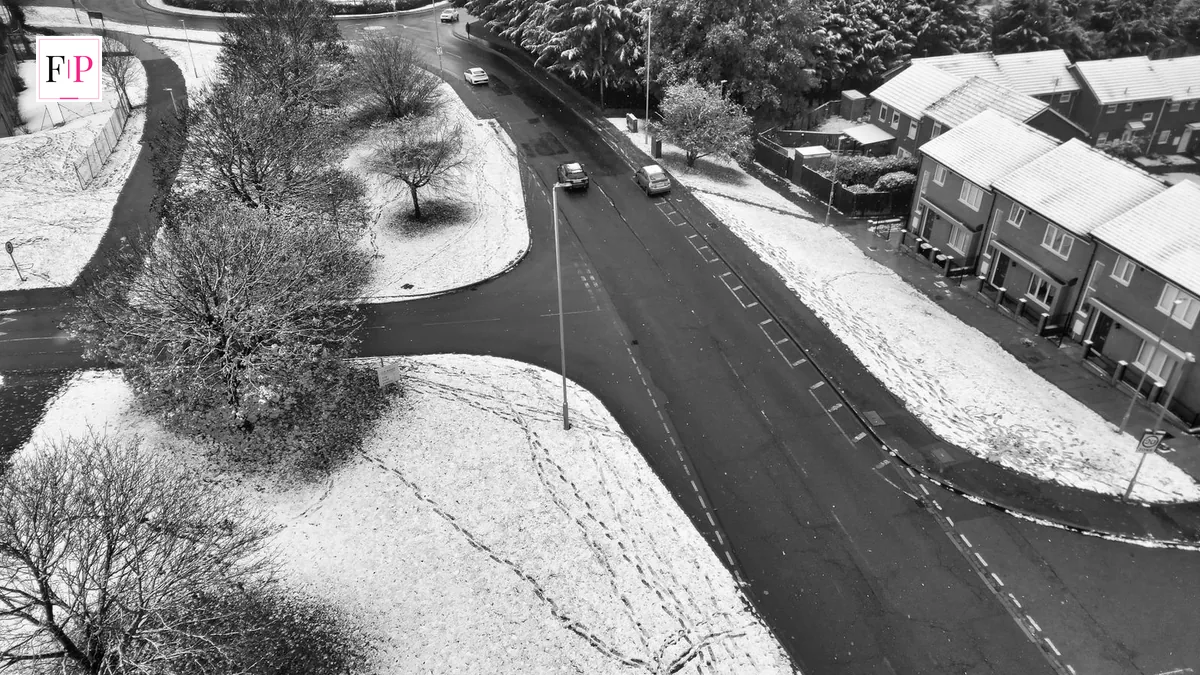
On the boundary between those air masses, cold easterly winds can develop. If moist air meets that cold air, snow can follow, as it did in early 2018. But that is only one possibility. A weaker vortex can also bring dry, bright, frosty weather with little or no snow, especially if the cold air stays dry. It can also fail to influence UK weather much at all, if the stratospheric change does not couple downwards. That uncertainty is central to any honest polar vortex uk forecast.
The Met Office also links a prolonged weakened polar vortex uk to a negative phase of the North Atlantic Oscillation, often shortened to NAO. In a negative NAO phase, pressure is higher than usual over Iceland and lower than usual over the Azores, the westerly flow weakens, and more of our weather comes from the north or east. In winter, that usually means colder, drier and potentially snowy conditions. A positive NAO, by contrast, strengthens the westerlies and brings milder maritime air, but also more rainfall and storms.
In short, a disrupted polar vortex uk tilts the odds towards colder outbreaks, but it does not select a date, a city or a snowfall total. Other factors, including high-pressure position, the track of Atlantic lows, sea-surface temperatures and El Niño, all help to decide what happens in a given week. That is why polar vortex uk headlines that jump straight to a snow depth in a named county skip several uncertain steps.
| Pattern | Jet stream | Typical UK tendency in winter |
|---|---|---|
| Strong polar vortex | Strong and relatively straight | Milder, wetter and windier weather from the Atlantic |
| Weak polar vortex | Weaker and more wavy | Greater chance of northerly or easterly winds; colder, drier spells |
| Sudden stratospheric warming | May “snake” and form blocking high pressure | Long dry, cold spell possible; snow possible where cold air meets moisture, but not guaranteed |
The table above is a guide to typical patterns, not a forecast for any particular week. In general, northern and eastern parts of the UK are often first to feel a northerly or easterly outbreak, because cold air can pick up moisture over the North Sea, producing snow showers for eastern coasts and hills. Southern and western areas may stay milder for longer if Atlantic air keeps influencing them.
Why November 2026 Is Being Watched So Closely
Interest in the polar vortex uk outlook sharpened in late October 2026, when models began to point to an unusually early disruption. Reporting drawing on the Met Office, the European Centre for Medium-Range Weather Forecasts (ECMWF) and NASA described stratospheric winds, about 30 kilometres above the Arctic, weakening and potentially reversing in the first half of November. The Met Office said on 30 October that it expected a sudden stratospheric warming to start the following week, and that it might also lead to some dry weather deeper into November.
If that disruption happens on the forecast dates, it would be the earliest major sudden stratospheric warming on record by about three weeks, with records in this comparison going back to 1958. That describes the timing of a stratospheric event, not the severity of UK surface weather, and there is little historical precedent for an event this early. Forecasters have stressed that the timing, strength and surface effects remain highly uncertain — a crucial caveat for every polar vortex uk headline.
One reported snapshot shows how fast the stratospheric winds were changing. NASA’s GEOS analysis, as reported in early November, had the average west-to-east wind at 60 degrees north and 10 hectopascals falling to 13.5 metres per second on 29 October, against an average of about 23.3 metres per second for that date. The vortex was therefore already weak for the time of year, but the wind was still westerly on the latest analysed day. A forecast is not the same as an observed reversal, and that distinction matters for the polar vortex uk story.
Model forecasts reported at the same time pointed the same way, with NASA’s GEOS forecast turning the wind easterly around 5 November and ECMWF ensemble members falling close to zero by about 3 or 4 November and below zero from around 8 November. Those are model outputs, not observed facts, and different systems have shown different confidence. One much-quoted 86 per cent figure was not a calibrated probability at all: it came from a single run in which 43 of 50 ensemble members forecast a wind reversal by 10 November, while other systems were more cautious. Ensemble counts show model agreement, not a direct probability of UK snow.
A strong El Niño in the Pacific is part of the wider background. The Met Office has said El Niño can increase the likelihood of wetter, stormier and generally milder conditions in the UK during late autumn and early winter, while later in winter, after the El Niño peak, the stratospheric vortex can become weaker, raising the chance of sudden stratospheric warming events and cold weather. Crucially, neither El Niño nor vortex changes provide a precise UK forecast on their own. They shift probabilities; they do not determine individual weather events. That is worth remembering for all polar vortex uk developments.
For forecasters’ own explanations of polar vortex uk, the Met Office guide to sudden stratospheric warming is a useful starting point, and its wider guide to the factors that influence UK winters puts the vortex alongside the North Atlantic Oscillation, Arctic sea ice and tropical rainfall. Both are linked below, and they are the only external links in this article.
Read the Met Office explanation of sudden stratospheric warming and its guide to the factors that influence UK winters.
What the Outlook Actually Says — and Does Not Say
The best check on sensational polar vortex uk headlines is the Met Office’s own longer-range outlook. Reporting of the forecast to 29 November, read on 31 October, described high pressure, fog and frost first, then more unsettled weather with temperatures near or a little above normal. That forecast did not mention snow. The November-to-January outlook, in the same reporting, still made a cold three months less likely than normal, while saying cold spells remained possible. That is not a contradiction; it is how seasonal forecasting works, and it frames the polar vortex uk outlook correctly.
BBC Weather reporting has pointed in a similar, cautious direction. It described a chance of a cooler and drier development in the north during the last week of November, linked to the early-November vortex disruption, but stressed that if any effects filtered down, it would take at least a couple of weeks, so that could be towards the end of November. BBC Weather called that outcome nothing more than an outside risk at the moment. That is very different from a guaranteed freeze, and polar vortex uk readers should hold on to that distinction.
It is also important to state what has not been verified. As of 4 November 2026, this article has not verified a Met Office snow warning for a specific UK location or date linked to the vortex, nor a confirmed forecast of heavy snow for London. A separate Global Forecast System model scenario has suggested possible snow around 10 and 11 November, mostly around 1 centimetre or less except on higher ground in Scotland. That scenario is not a Met Office forecast, its extent could change, and it should not be presented as confirmed polar vortex uk snow. Check the Met Office warnings page close to the time, rather than relying on a model map on social media.
Polar vortex uk history counsels caution too. An analysis of the 32 major warmings since 1979, reported in early November, found central England colder than normal in the next 30 days after 19 of them, compared with about 49 per cent of ordinary winter spells. That is a lean towards colder conditions, not a rule: in 13 cases, central England was not colder than normal in the following month. For the polar vortex uk story, the right mental model is a nudge in the odds, not a switch that guarantees cold.
- Verified: a sudden stratospheric warming was forecast to start in early November 2026, potentially the earliest major event on record by about three weeks.
- Verified: stratospheric winds were weak for the time of year in late October, but still westerly on 29 October in the latest NASA analysis reported at the time.
- Verified: the Met Office outlook to 29 November, as reported on 31 October, did not mention snow, and described temperatures near or a little above normal after an initially settled, foggy and frosty spell.
- Not verified: any specific date, location or snowfall total for a polar vortex uk snow event, and any claim that London is guaranteed snow.
Could This Become Another Beast from the East?
Every disrupted polar vortex uk invites comparison with the Beast from the East, the severe cold spell of late February and early March 2018. That comparison explains the mechanism, but it is misleading as a prediction. In 2018, a sudden stratospheric warming in mid-February was followed by high pressure over Scandinavia and northern Europe, drawing extremely cold air from Finland and northern Russia to the UK. Most precipitation then fell as snow, and snow cover across southern England was enhanced in early March by Storm Emma, bringing moist air from the south.
The Met Office’s review of 2018, published via Carbon Brief, described that spell as the most significant spell of snow and low temperatures for the UK since 2010. The lowest temperature of the year anywhere in the UK was minus 14.2 degrees Celsius in Faversham, Kent, on 28 February, and the Met Office issued two red warnings for snow during the event. Some northern and eastern areas saw accumulations in excess of 20 centimetres, with even higher totals in places. That scale is why the polar vortex uk debate keeps returning to 2018, even though no two disruptions are alike.
Three differences matter for November 2026. First, timing: the 2018 warming happened in mid-February, when the vortex was mature, whereas a 2026 disruption would be exceptionally early, before the vortex has fully formed for winter. Second, ingredients: the Beast from the East needed not only cold easterly air, but also a moisture source and a weather system — in that case Storm Emma — to turn cold air into widespread heavy snow. Cold air alone often brings dry, frosty weather, not blizzards. Third, uncertainty: in early November 2026, the surface outcome is still a question of whether, when and how the stratospheric change couples downwards.
The Met Office notes that sudden stratospheric warmings have been connected to extreme cold and snow events in 2009–10, 2013 and 2018, but stresses that a warming does not happen every year and does not always affect our weather when it does. The polar vortex uk debate is therefore best framed as a watch, not a warning: a pattern to monitor, with a plausible cold outcome among several possibilities, rather than a repeat of 2018 waiting on a timetable.
How to Prepare and What to Watch Next
Preparation for a possible polar vortex uk cold spell does not require panic buying, and readers should be wary of claims attributing a stockpiling warning to a particular company without checking the original source. Sensible, low-cost preparation helps in any cold snap, and is worth doing before cold weather arrives. That practical approach fits the polar vortex uk picture: prepare for frost, but do not assume a blizzard.
- Check the official forecast, not just a headline. Use the Met Office forecast and warnings for your area, and re-check close to the time, because a stratospheric forecast weeks ahead cannot replace a local forecast days ahead.
- Watch for the downward signal. Look for easterly winds moving down from the stratosphere to the troposphere, blocking high pressure over the North Atlantic or Scandinavia, and a shift towards a negative North Atlantic Oscillation.
- Prepare the home for frost. Lag exposed pipes where practical, know where the stopcock is, keep heating at a steady background level during a cold snap if you can, and check on older or vulnerable neighbours and relatives.
- Plan travel with a buffer. Allow extra time, keep a charged phone, warm clothing, water and a blanket in the car where practical, and check road and rail updates before setting off.
- Do not treat a model map as a forecast. A single model run showing snow on one date is a scenario, not a promise. If several models, the Met Office and BBC Weather begin to agree on a cold pattern for the same period, confidence rises; if they disagree, confidence stays low.
In the next two to four weeks, watch whether the wind reversal happens, whether blocking high pressure forms, and whether the longer-range outlook turns cooler for late November. Until those signals align, the honest summary of the polar vortex uk situation remains: an unusually early disruption is forecast, a cooler outcome later in November is plausible, and snow for any named place remains unproven.
Frequently Asked Questions
What is the polar vortex in simple terms?
The polar vortex is a ring of strong westerly winds high in the stratosphere, circling cold air above the North Pole in winter. When it is strong, it keeps much of that cold air locked over the Arctic. When it weakens or breaks down, cold air can spill further south and change the jet stream, which can affect UK weather.
Does a polar vortex breakdown guarantee snow in the UK?
No. A breakdown, or sudden stratospheric warming, raises the chance of colder weather, but it does not guarantee snow. Major warmings occur in roughly half of winters, and even then they do not always bring intensely cold spells to the UK. Snow also needs moisture and the right wind direction, not just cold air.
What is happening with the polar vortex uk forecast in November 2026?
Forecast models in late October pointed to a sudden stratospheric warming in early November 2026, which would be the earliest major event on record by about three weeks if it happens on those dates. The Met Office said on 30 October that it expected a warming to start the following week. It remains a forecast, and its surface effects are uncertain.
When would any UK cold weather arrive after a sudden stratospheric warming?
Usually after a few weeks, or into the next month. The Met Office says a sudden stratospheric warming usually takes a few weeks to influence surface weather. BBC Weather has suggested that, for the early November 2026 disruption, any effect would most likely be towards the end of November, and only as an outside risk at present.
Has the Met Office forecast heavy snow for London because of the polar vortex?
No, not on the evidence checked for this article. The Met Office outlook to 29 November, as reported on 31 October, did not mention snow, and described temperatures near or a little above normal after an initially settled spell. Model scenarios showing possible snow around 10 and 11 November are not confirmed Met Office forecasts.
Could this become another Beast from the East?
It is too early to say, and a repeat cannot be assumed. The Beast from the East in 2018 followed a mid-February sudden stratospheric warming and needed both cold easterly air and Storm Emma to produce widespread heavy snow. The November 2026 event, if it happens, would be exceptionally early, and forecasters have stressed that its timing, strength and effects remain highly uncertain.
Conclusion
The polar vortex uk story is a reminder that the most dramatic weather headlines are often the least complete. High above the Arctic, a forecast disruption may indeed be unusually early, and it may tilt the odds towards a cooler, drier spell later in November. But a tilt in the odds is not a snow forecast, and a stratospheric wind reversal is not a freeze on your street. Judge any new claim by whether it names a source, a date and a level of confidence — or merely a dramatic map.
Keep checking the Met Office forecast for your area as November progresses, and return to this polar vortex uk guide for the context behind the next update. If the disruption couples downwards, the signs will be blocking high pressure, a shift in the jet stream and a cooler signal in the longer-range outlook — and those signs, not a headline, will tell us whether Britain is heading for a cold snap, a dry frosty spell, or simply another changeable late-autumn week.
